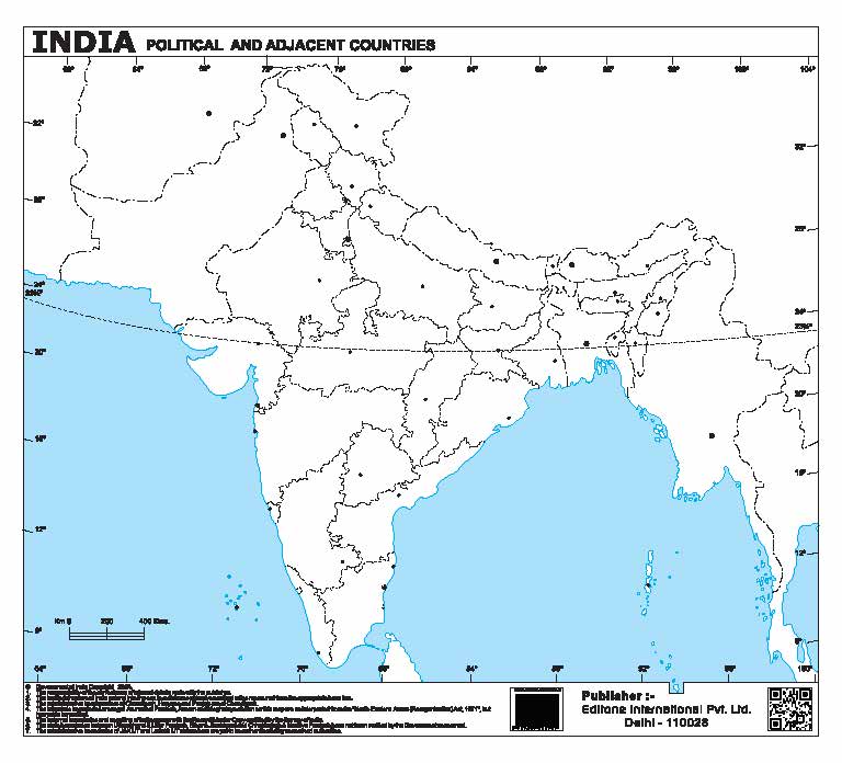
Political and adjacent countries
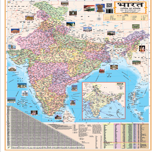
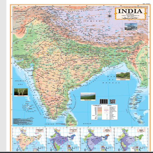
This detailed map of India highlights its diverse geography, showcasing states, capitals, and major cities. It provides a clear visual representation of the country's regions, rivers, mountains, and borders, making it an essential reference for educational and travel purposes.
Deliverable Files
- 0.00 B
🌍 Product Highlights (1 Page Chart / Map)
✨ Total Pages: 1 Page (Complete India Map)
📖 Cover: Single Sheet Design
📘 Content: Full Page Detailed India Map
📑 Format: Quick View Study & Reference Chart
📏 Available Sizes
📐 A5 Size: Small Size
📐 A4 Size: 8.27 × 11.69 inches
📄 Paper Options
📝 Maplitho Paper: Smooth matte finish (ideal for easy reading and study)
🎨 Art Paper: Glossy finish (perfect for vibrant colors and clear map visuals)
🖨️ Printing Format
✔ Single sheet print (front side)
✔ Optional lamination for long-lasting use
✔ Perfect for wall display, classroom, and study table
📐 Design & Layout
✔ Detailed and well-structured India map with clear state boundaries
✔ Shows Indian states, capitals, major cities, and neighboring countries
✔ Includes rivers, mountain ranges, and important geographical landmarks
✔ Color-coded states for easy identification and learning
✔ Clean layout designed for quick reference and better understanding
🎁 What You Get
✔ 1 Page High-Quality India Map
✔ Print-ready PDF Format
✔ Sharp, clear, and professional design
✔ Ideal for students, teachers, geography learning & competitive exams
No reviews yet.